
Atlantic Block Record Sources
Public records can describe the land around an Atlantic County address, but each source has a different boundary. The county GIS layer is the starting point for parcel shape and nearby polygons. The assessment hub adds owner, property, block-and-lot, assessment, and sales clues. The Clerk’s records can connect a parcel to a deed, recorded map, or transfer. Voter records may provide narrow registration context under Title 19, but do not create a full household roster. Treat an owner name, a map location, and a person living at an address as separate facts until two suitable records support the connection.
| Source | What It Shows About a Block | Access |
|---|---|---|
| Atlantic County GIS parcel layer | Parcel polygons, parcel IDs, shared boundaries, aerials, and selected zoning, flood, or district layers | Public viewer, table, and downloads; not survey-grade |
| County tax map archive | Key maps, map sheets, lot and block relationships, subdivisions, and adjacent parcel geometry | Municipal folders; compare with deeds |
| Assessment hub | Owner, address, block and lot, sales, class, and other selected parcel clues | Public search and export; live result fields should be checked |
| Recorded deeds and maps | Legal descriptions, named parties, transfers, subdivisions, and access language | Free Clerk index; older images may need a counter or archive route |
| Voter list or status route | Matched voter status, municipality, ZIP, ward, or district subject to legal limits | Status search or statutory list request; signatures and protected addresses are excluded |
| Municipal permit or code file | Address-keyed work, inspections, violations, or responsible applicant labels | Municipality-specific request or OPRA; no countywide portal was found |
A narrow parcel check is more reliable than a broad search for everyone on a block. It also keeps the question clear: who owns the land, which parcels touch, and what record supports the link. Those answers do not establish occupancy or social relationships.
Atlantic GIS Parcel Records
The Atlantic County Office of GIS provides an interactive Web Map Viewer, a data-table view, tax parcels, static maps, ZIP Code Boundaries, 2022 aerial imagery, and downloadable data. Its useful documented interaction is map browse and parcel selection. Zoom to the street, select the target polygon, then inspect nearby polygons and note the parcel identifiers. A buffer or radius control was not confirmed in the research, so do not describe one as an available county tool.
The county’s disclaimer matters. GIS products are demonstration and secondary products, are not developed to National Map Accuracy Standards, and are not survey documents for legal boundary work. Use the map to orient the block and find the tax-map or parcel clue. Confirm a title question with the Clerk’s legal description and recorded map. A thin strip, common driveway, condominium parcel, water parcel, or railroad can look close on the screen while having a different legal relationship.
Note: Map proximity is useful for research, but it cannot settle a boundary dispute or prove a household relationship.
Map an Atlantic Block
Define adjacent before searching. A shared parcel boundary, the same street frontage, the same tax-map block, and an across-the-street address are different groups. Keep a short worksheet for each included parcel with the reason it belongs in the block check. The documented route is map selection first, then assessment and recorded-document confirmation.
Address flow: street address → target GIS parcel → adjoining parcel polygons → tax-map sheet and parcel IDs → assessment owner clues → Clerk deed or map by municipality, block, lot, or party name.
- Normalize the address with its street number, directional, suffix, municipality, and postal label. Mays Landing can be the postal label while Hamilton Township is the municipality.
- Locate the target parcel in the GIS viewer. Pan or click the polygons sharing street frontage or a parcel boundary, and record their IDs and why each is included.
- Open the municipal tax-map key and sheet to test whether a narrow strip, shared driveway, subdivision, or water feature changes the apparent adjacency.
- Search each selected parcel in the assessment hub. Compare the municipality, property address, block and lot, sale details, and any field actually displayed.
- Use SearchNG for a recorded deed, map, or legal description when an owner or parcel relationship needs confirmation. For an entire named street, use the Atlantic street directory workflow instead of expanding a block check without limits.
The assessment record can name an owner of record. It cannot prove that the owner occupies the parcel, and the research did not verify every live parcel-card field. A mailing address, if shown, is a tax-correspondence clue that may be a business, post-office box, agent, or another residence.
Atlantic Tax Maps Set Edges
Tax maps are the check on what the viewer seems to show. The county archive directs a researcher to select the municipality, find the key map or index sheet, then locate the tax-map sheet number. All 23 municipalities have folders. This is especially useful where a current street label differs from an older one or the assessment hub understands a parcel number better than it understands the address text.
Move from the map sheet to the recorded-document index only with the municipality, block, lot, qualification, or map number in hand. The Clerk’s legal search supports town, lot, and block, while its party, book-and-page, file-number, and map-number searches can locate supporting documents. A legal description, not a street number by itself, controls the deed connection. Search spelling variants for people and entities because the Clerk cautions that indexes can be inconsistent.
Atlantic County’s Clerk has documented completed preservation work for more than 9,500 recorded maps and tax maps and all 414 index books. That is a valuable historical bridge, though it does not mean every deed image is online. The public web system states imaging from March 2000, with earlier images continuing to be back-scanned.
Atlantic Voter Records by Block
New Jersey’s voter system contains fields such as name, street address, municipality, ZIP, ward or election district, registration status, and party affiliation when designated. Public list access excludes signatures, and covered-person home addresses are withheld. The live “Am I Registered?” form is a one-person status check, not a map or bulk street search. The full-list route is controlled by N.J.S.A. 19:31-39, which describes an electronic list route for a requesting voter and excludes protected information.
For an Atlantic block, voter information is only a limited context layer. A person may be unregistered, inactive, moved without updating the record, or protected through Daniel’s Law or the Address Confidentiality Program. Election participation does not disclose a ballot choice. A ward or district can help distinguish similar nearby addresses, but a voter result must not be turned into a complete household list.
Atlantic Community Record Contacts
Atlantic County’s official materials identify community resources but not a countywide member directory. Use a public contact route for local history, service information, or an organization’s published programs. Do not infer that someone belongs to an alliance, veterans post, association, congregation, or club because a parcel sits nearby. No named Atlantic County neighborhood-association umbrella directory with public membership contacts was located in the research.
| Community resource | Public contact route and documented scope |
|---|---|
| Atlantic County Library System Resource Center | Resource Center information for local history, genealogy, census microfilm, newspapers, reference help, and public computers. It is not a household directory. |
| Atlantic County Historical Society | Historical Society library for directories, newspapers, oral histories, yearbooks, church and cemetery material, and local files. Visit or call for collection help; there is no public member-name search. |
| Municipal Alliances | County materials describe 11 active alliances representing 23 communities, with public program and contact information, more than 200 volunteers, and 164 prevention programs. They are not resident rosters. |
| Veterans organizations | County Veterans Services lists posts in several Atlantic County communities with public contact and meeting information. Membership rosters are not public. |
| Municipal clerk route | Atlantic County municipal governments directory directs local questions to the appropriate municipality. An HOA or block group may keep only private owner contact data. |
Historical resources can help identify an old neighborhood name, school, church, business, or community event. They should be used to understand a place and its records, not to assemble a current membership list.
Atlantic Property Records Alert
Atlantic County’s Property Alert is a records-monitoring tool, not a neighbor roster. The free service allows registration of party names, including variants, or municipality and block-and-lot information. The Clerk cautions that parcel data are not in every recording and recommends party-name registration. A matching recorded document can trigger an email after the service’s verification process, but the alert does not prevent recording and it is not proof that a person occupies a parcel.
Atlantic County Property Alert explains the county service and its party-name and parcel monitoring.
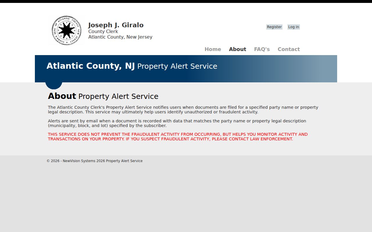
The official FAQ documents a five-to-seven-business-day verification delay, unlimited subscribers, and limits where the registered name or parcel information is absent from a filing. Use the alert for a lawful interest in a parcel, such as an estate or fraud concern. Verify any notice in the Clerk’s actual record before acting on it.
Atlantic Neighbor Tool Comparison
Official sources preserve the difference between a parcel, an owner of record, a voter, and an occupant. Commercial neighbor-search services can combine public and proprietary data, charge for reports, and merge same-name records. The distinction matters on a block where a nearby owner may use a different mailing address or own a seasonal, vacant, trust-held, or business-related parcel. A visual map result should lead back to the public custodian, not replace it.
| Official record path | Commercial neighbor-search category |
|---|---|
| Shows its custodian, record purpose, date, and access limit. GIS, tax maps, assessments, deeds, municipal files, and lawful voter routes can be compared separately. | May blend address and name data from multiple sources, but can contain stale details, same-name merges, and owner-versus-occupant confusion. |
| Allows a researcher to check parcel geometry, legal description, and the exact field supplied by the office. | May require an opt-out process, which removes a private listing but does not alter the government source record. |
Atlantic Neighbor Privacy Limits
Some parts of a block remain private. Public property records do not create a list of non-owner occupants, children, utility customers, delivery recipients, motor-vehicle address holders, or association members. Sealed court matters and protected vital information are also outside this workflow. Daniel’s Law can redact a covered person’s home address and unpublished telephone number from public government records and internet postings. The Address Confidentiality Program can provide eligible survivors a substitute address for new government records.
New Jersey Open Public Records Act (OPRA) requests should seek an existing, identified record from the correct custodian. They are not a way to demand a new map of private people. If a property or record field appears wrong, contact the assessor, municipal clerk, County Clerk, Superintendent, or other office that created it. Do not work around a protected address or treat an absent name as proof that someone does not live nearby.
Lawful use. Use Atlantic County block records for personal, family, estate, civic, or property-safety questions. Do not use them to watch, stalk, harass, threaten, intimidate, or expose another person.